Skip to content Skip to content
Logo: Wesleyan University

WesGIS

Mapping and spatial data analysis at Wesleyan University

WesGIS
  • K Diver
    • Research
    • People
    • Teaching
    • cv
  • WesGIS
    • GIS Assistant Program
    • GIS teaching
    • GIS research
  • Newsfeed
  • Events
    • Workshops
    • Seminars
  • Gallery
    • Gallery
    • Student projects
    • Maps in the Media
  • Resources
    • Data sources
    • GIS blogs
    • Jobs & Internships
    • Training
    • Facilities
  • Equity

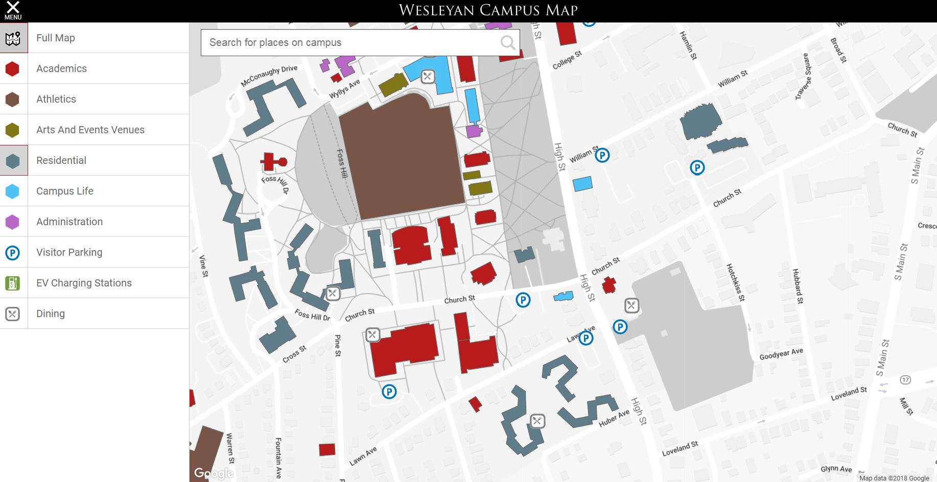
Wesleyan launches interactive campus map

April 5, 2018March 23, 2018 by kdiver

Read the news story here: News@Wesleyan

Access the map: Campus Map   

Categories GIS accomplishments, GIS in the news, Map gallery
Post navigation
Seasonal GIS position in Arizona
Entry-level GIS and field technician at UC Davis Center for Watershed Sciences

Recent Posts

  • Software Engineer opening with Conservation Biology Institute
  • GIS Analyst job in MA
  • GIS specialist job with Terraformation (can work remotely)
  • GIS research associate job with Colorado State and NPS
  • GIS Analyst job at CT GIS Office

Categories

© 2022 Wesleyan University