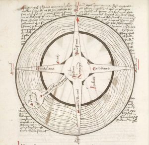
a lecture by Chet Van Duzer
2-4 pm, Saturday, October 7
Fisk 208
Month: September 2017
WesGIS workshop: Crowdsourced Disaster Relief Mapping
Want to help with relief efforts after this month’s earthquakes and hurricanes? WesGIS workshop: Crowdsourced Disaster Relief Mapping When: Friday, September 22, noon-1 pm Where: PAC 100 Who: Anyone in the Wesleyan community who is interested in helping out by tracing buildings from satellite images. No GIS/mapping experience required.
Mappers needed in disaster relief efforts
OSM Tasking Manager is a mapping tool designed and built for the Humanitarian OSM Team collaborative mapping. The purpose of the tool is to divide up a mapping job into smaller tasks that can be completed rapidly. It shows which areas need to be mapped and which areas need the mapping validated. Go the their … Read more
Image interpreters needed for post disaster damage assessment in Puerto Rico
Position in National Park Service PWR Office – GIS
Position Description
The NPS is looking for someone to fill this position for @ 1 year. Works with and assists cultural resources program staff with creating and editing Geographic Information Systems (GIS) data for historic structures located in various National Park sites within the western United States.
Recent disaster relief data
The World-Wide Human Geography Data Working Group (WWHGD WG) team has compiled an initial list of sources that contain data, information and products in support of Hurricane Irma and the Mexico Earthquake response and recovery.

