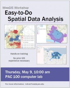
Thursday, May 9, 10:00-11:00 am, PAC 100
Do you want to conduct analyses like drive-time buffers, hot spots, and density calculations but are intimidated by the Esri ArcMap software? Join Kim Diver for an introduction to conducting spatial analyses in ArcGIS Online, a user-friendly web map platform. This workshop for faculty and staff entails hands-on training on how to find and add data to a web map, conduct spatial analyses, and publish the results. Suitable for beginners or current GIS users that want more experience with webmap platforms.


